Evidence-based geospatial analysis to inform stakeholders and inspire action
A selection of my personal projects focused on geospatial mapping for conservation
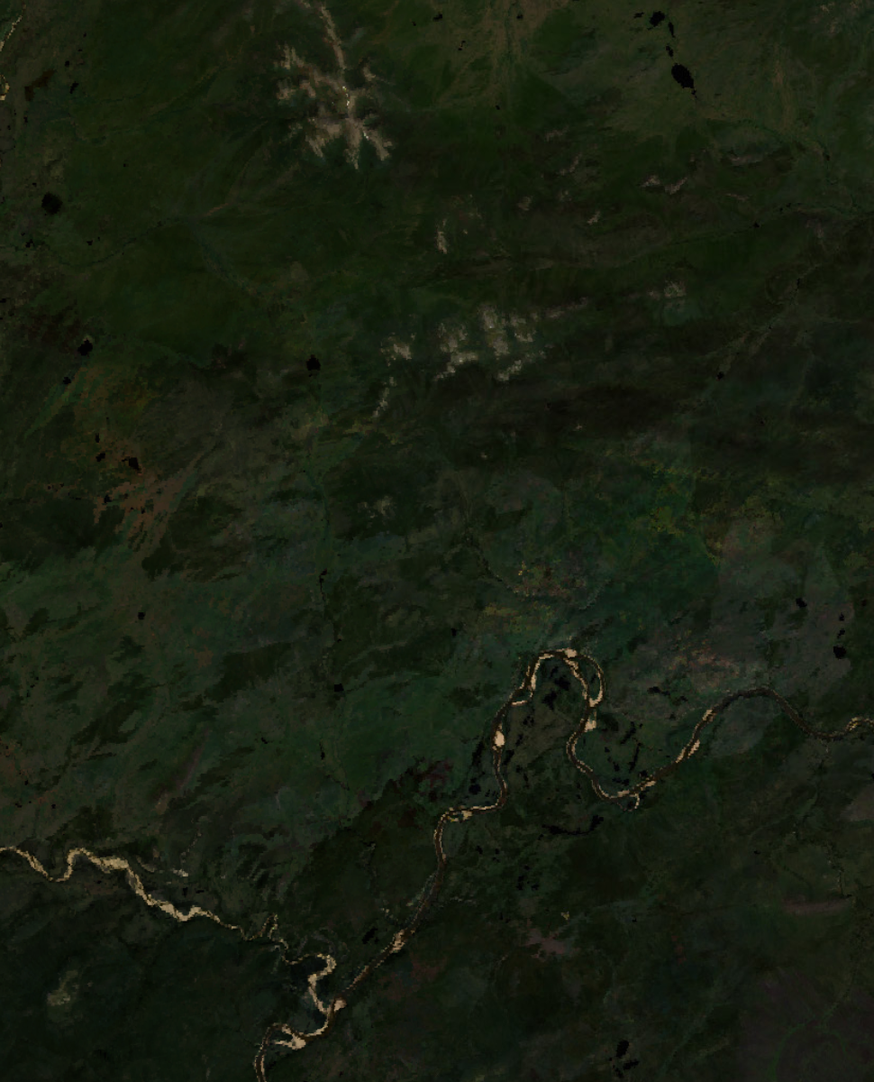
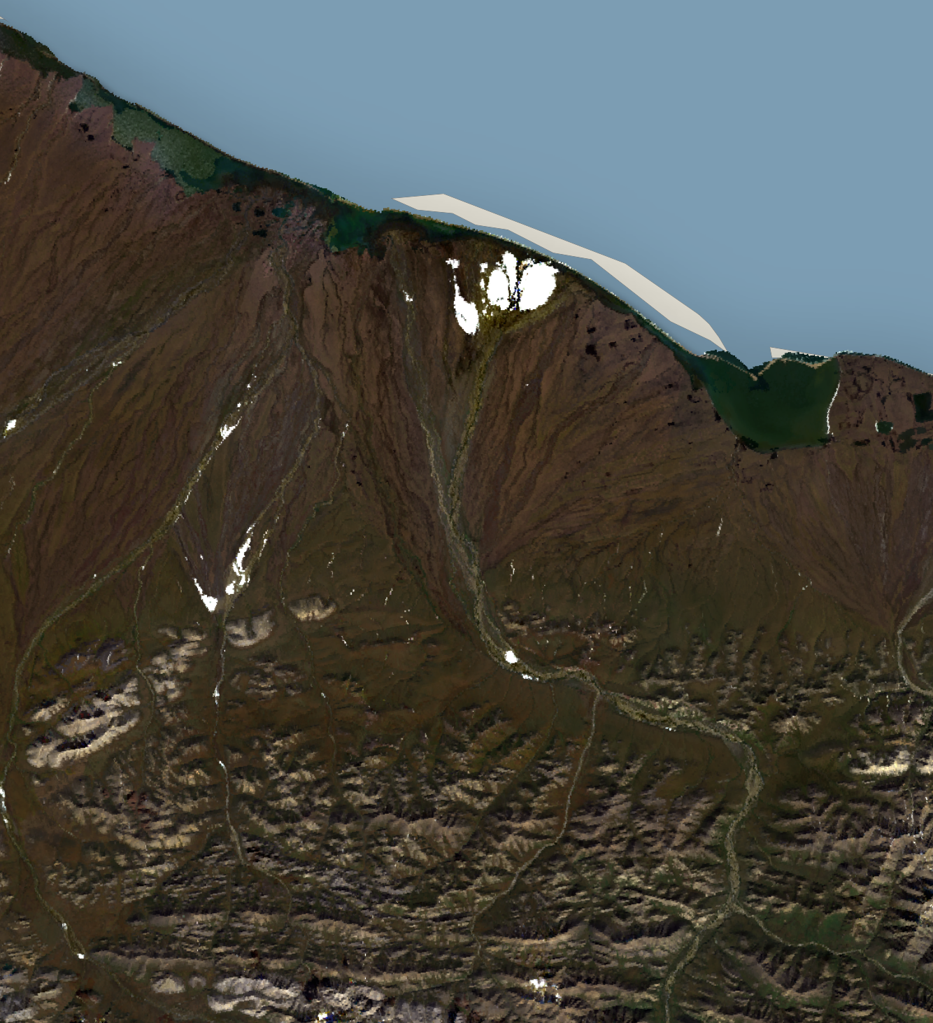

ARCTIC NATIONAL WILDLIFE REFUGE
Landsat-9 imagery analysis and climate data visualization to emphasize the importance of critical bird habitats in one of the largest undisturbed ecosystems on the planet.
Blog post coming soon!
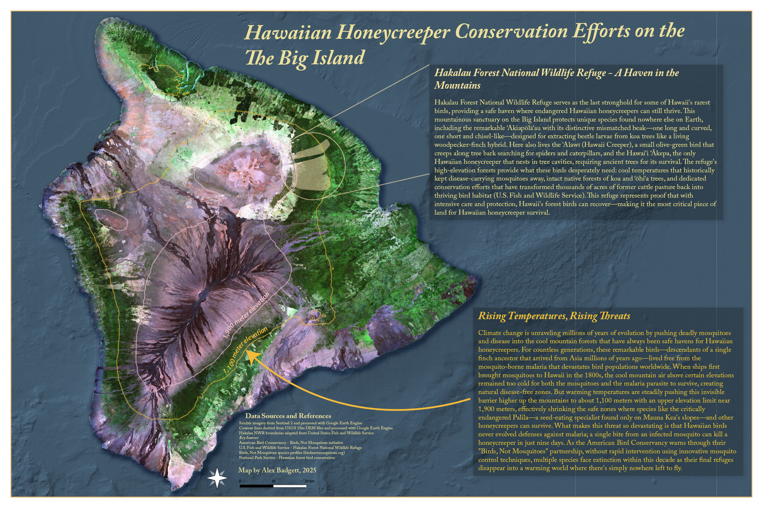
Hawaiian Honeycreeper conservation map